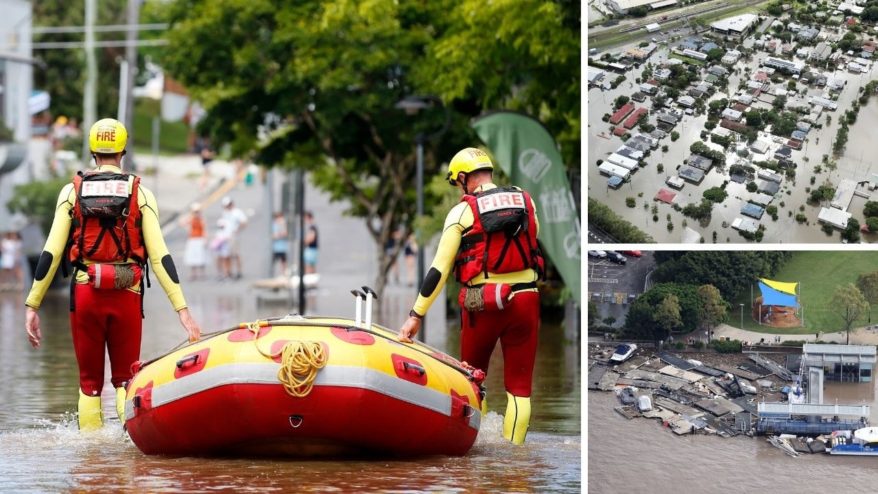
The floods wreaking havoc on the region are expected to worsen again within the next 48 hours as the bureau predicts another wave of dangerous storms.
Authorities have warned Southeast Queensland could be lashed with further flash flooding throughout the week with the likely arrival of severe thunderstorms creating another heavy drenching.
The Bureau of Meteorology said the next wave of damaging storms was expected on Wednesday and could continue into the weekend, as the region remains on high alert amid numerous active flood warnings.
Major alerts are current for several rivers across the region including the Upper and Lower Brisbane rivers, Logan and Albert rivers, Bremer River and Warrill Creek, the Mary River, the Noosa River, and Condamine and Balonne rivers.
The weekend’s devastating drenching had created emergency conditions for populated communities including Gympie, Maryborough, Sunshine Coast, Ipswich and Brisbane, and Lismore and Grafton.
Senior Meteorologist Dean Narramore said many areas had been lashed with up to 1000mm of rain with severe storms creating cyclone-like conditions.
“It was all thanks to a very slow moving upper level low pressure system combining with the very moist conditions off the Coral Sea bringing this widespread and prolonged heavy rainfall event to parts of Southeast Queensland,” he said on Monday.
“The flood warning for the Brisbane River continues to consider the releases from Wivenhoe Dam, being managed by SEQ Water.”
Originally published as Flooding chaos set to continue as SEQ clean up begins